Where Is Gav?
  • Blog
Picture

Flying backwards into Italy & some unexpected discoveries!
2/6/2016

0 Comments

 
Picture
Picture
Ugh. After discovering most of the Swiss mountain passes are all closed I was left with a choice; miss out on riding them or find a route that would put me back in Switzerland in 3-4 weeks when they are (hopefully) open.


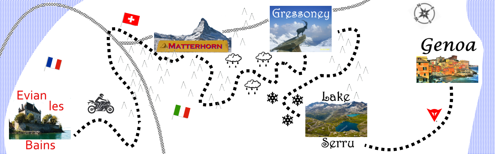
Staring at the map the answer became obvious - do the entire next 4 weeks of travel in the reverse order. In 4 weeks time I was going to be in the Italian Alps which are only 2 hours south of my current location and with no accommodation booked I can more or less go anywhere (ish)!


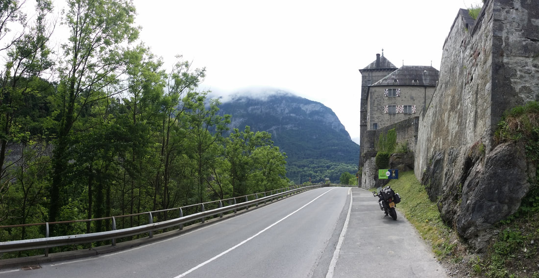
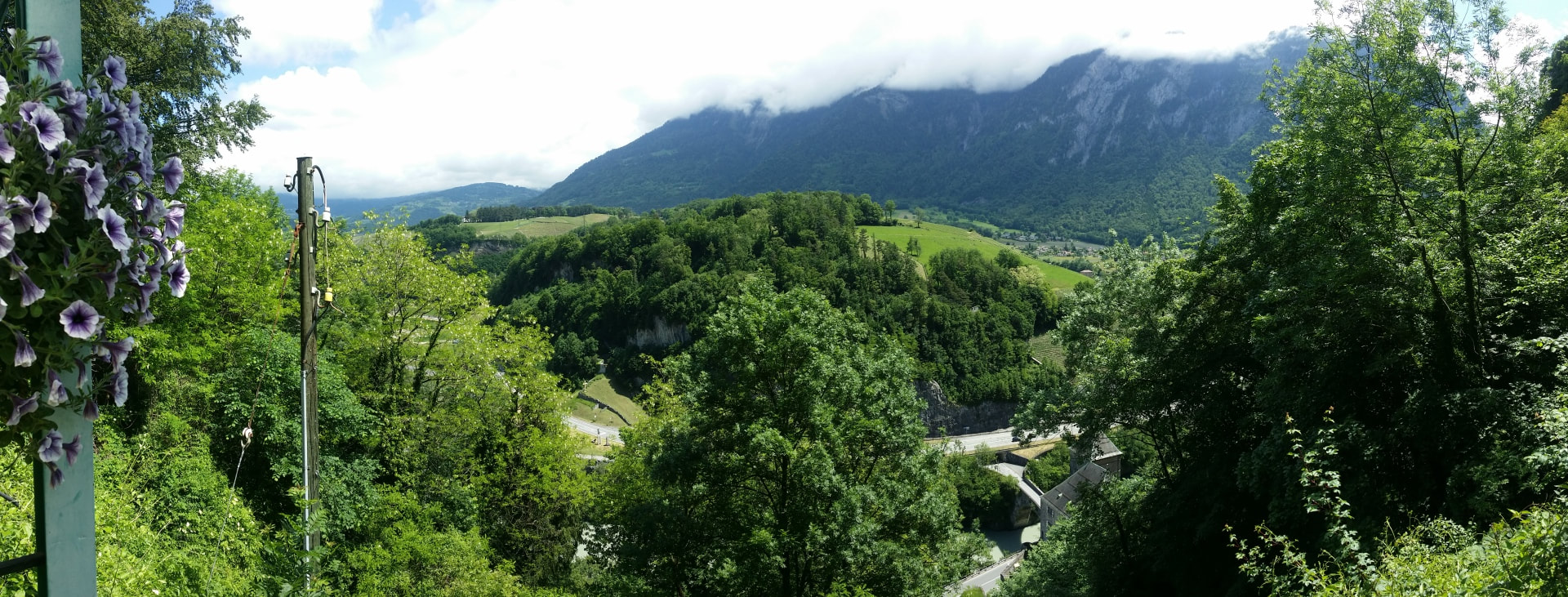
Pushing south first into Switzerland I accidentally stumble across a castle guarding a narrow stretch of road and riverway.
Picture
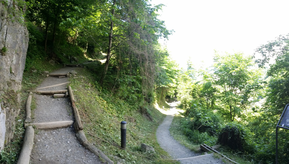
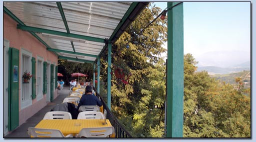
The castle itself isn't open however there is a cave complex above which all the tourist signs point to; climbing a LONG way up the hill sits a cafe on a narrow ledge.
Picture
Picture
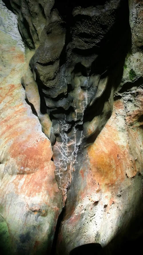
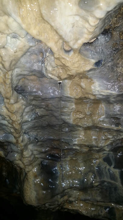
The cafe is also the entry to the caves, named La Grotte aux Fees / Cave of Fairies entry is 9 Euro ($15AUD) but I'm handed a laminated guide and told it takes about an hour; seems like a good deal! Unfortunately underground photos aren't the best however there are 15 points of interest spanning the 500m underground path including...amazing colourful rocks.


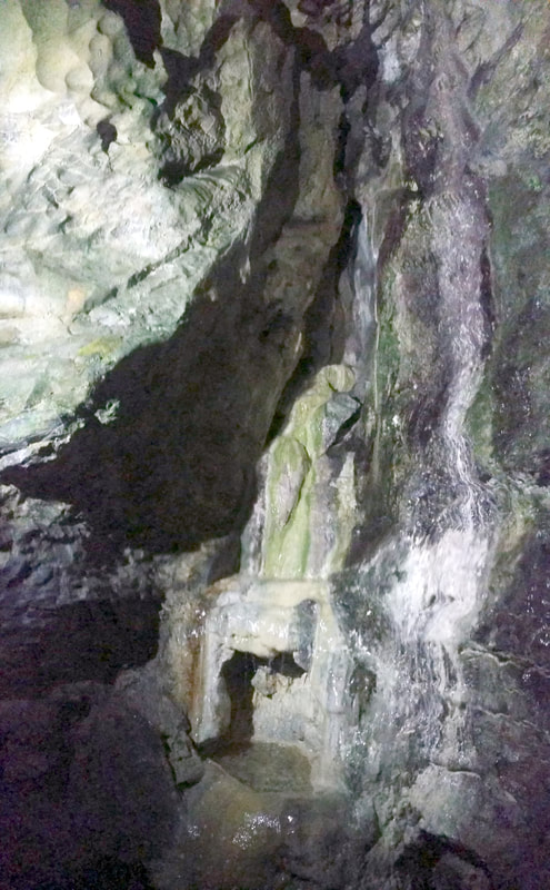
The fairy's fountain, this is an upward panorama - the fountain falls over 5m or so. I did make a wish, cant tell you what it was!
Picture
Picture
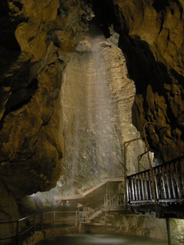
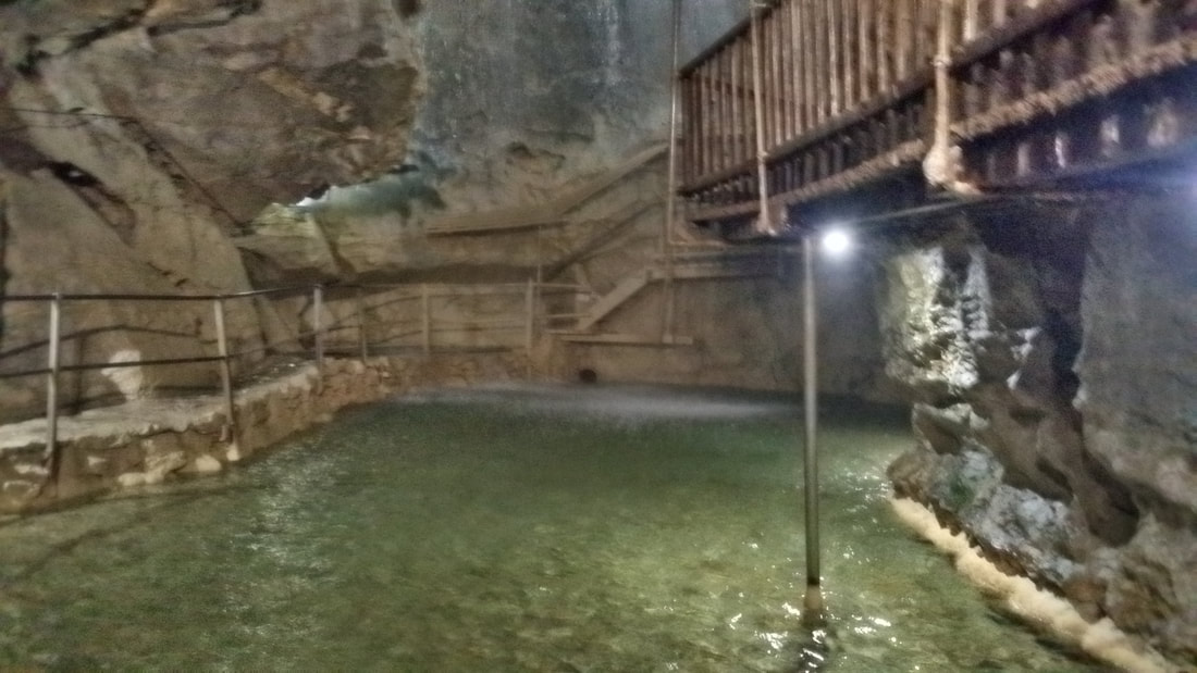
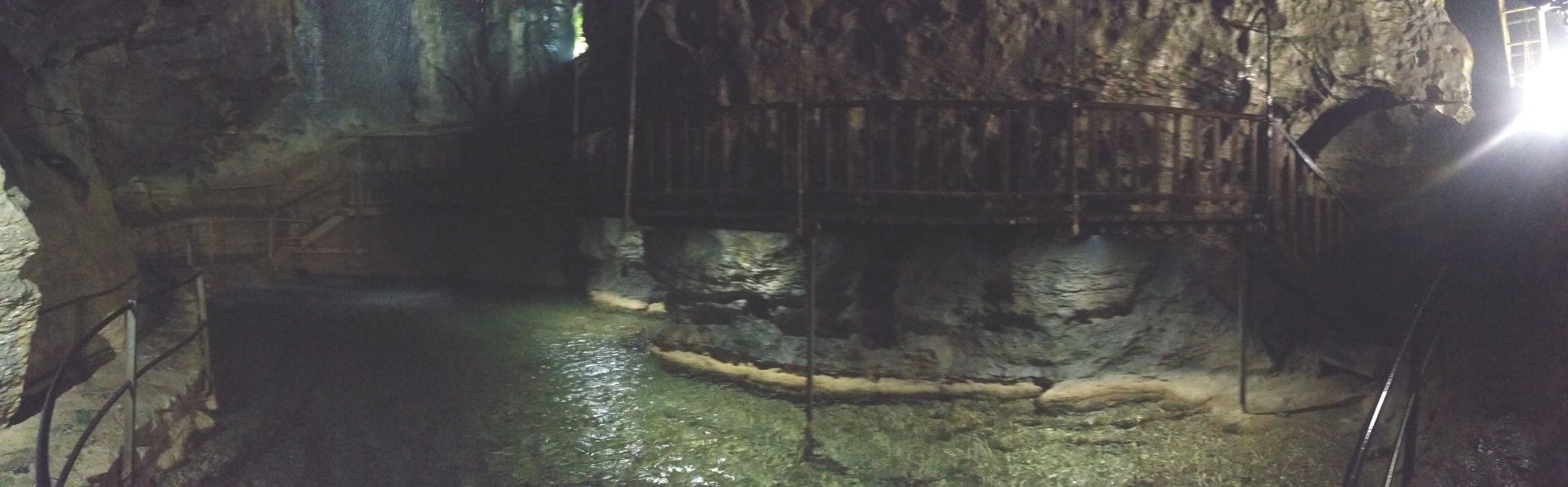
The final site is a MASSIVE underground waterfall and lake, from 77m above a deafening amount of water pours down into the large lake which then slowly filters back out through the caves.
Picture
Picture
The caves have been used for centuries by locals however have been open to visitors since the late 1800s and a covered walkway allows you to stand under the waterfall.
Picture
Heading back out I finally managed my first decent photo, this section was pitch black as the caves are only lit at each checkpoint but my phone's LED is proving its worth! Apparently historically locals would bring their sheep deep into the cave to sleep, lighting a fire at the entrance to ward off any ...local hungry wildlife.
Picture
Quick coffee and a snap of the view and I run back down the hill, jump on the bike and head towards Italy!
Picture
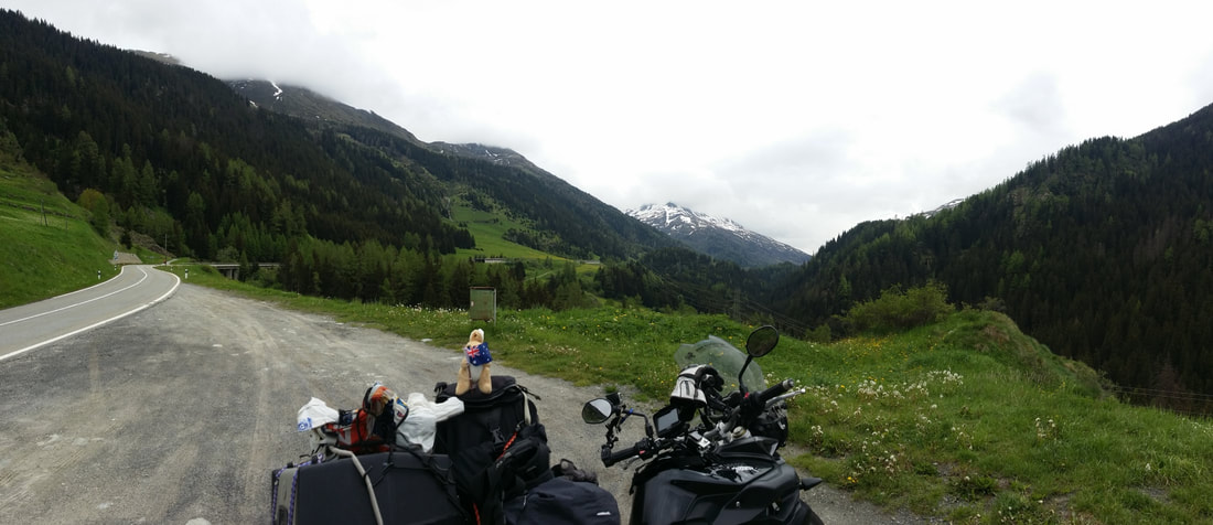
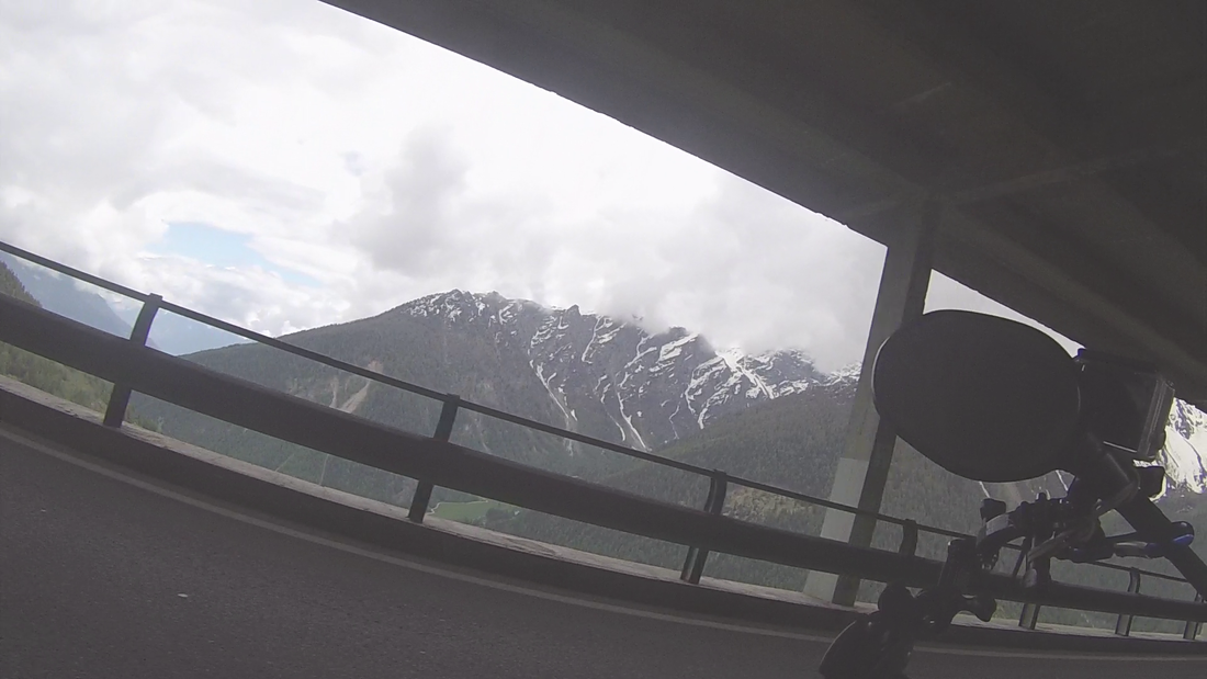
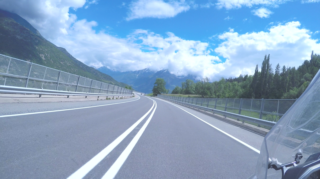
The actual crossing to Italy is via a tunnel under the Alps (again!!!) however the climb is amazing!
Picture
Picture
Picture
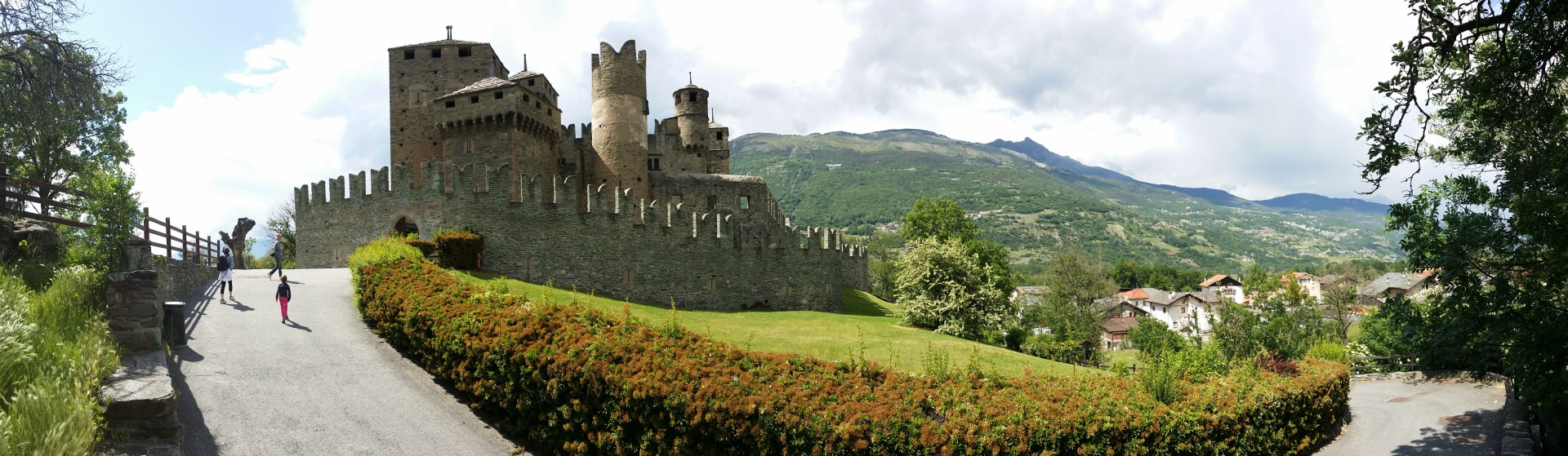
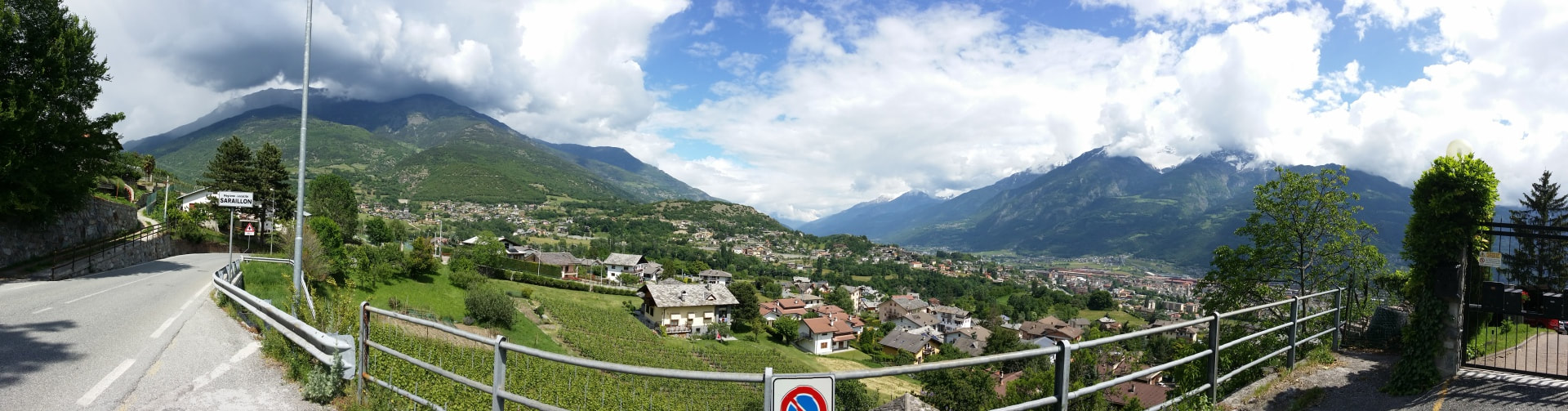
Dropping on the other side I'm plunged into the Aosta Valley which marks the entry to the Italian Alps towns. I stumbled on this castle too however only guided tours were allowed...and they were only offered in Italian...so I passed.
Picture
Picture
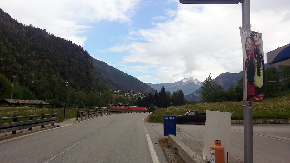
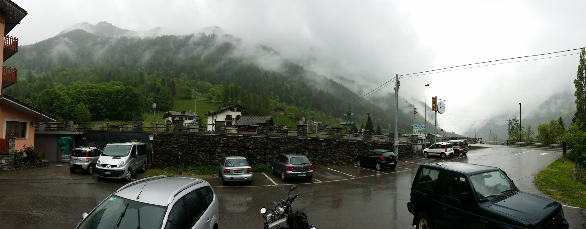
Continuing through the valley I eventually found the correct turn to head up to the first of my stops - Matterhorn!
Picture
Picture
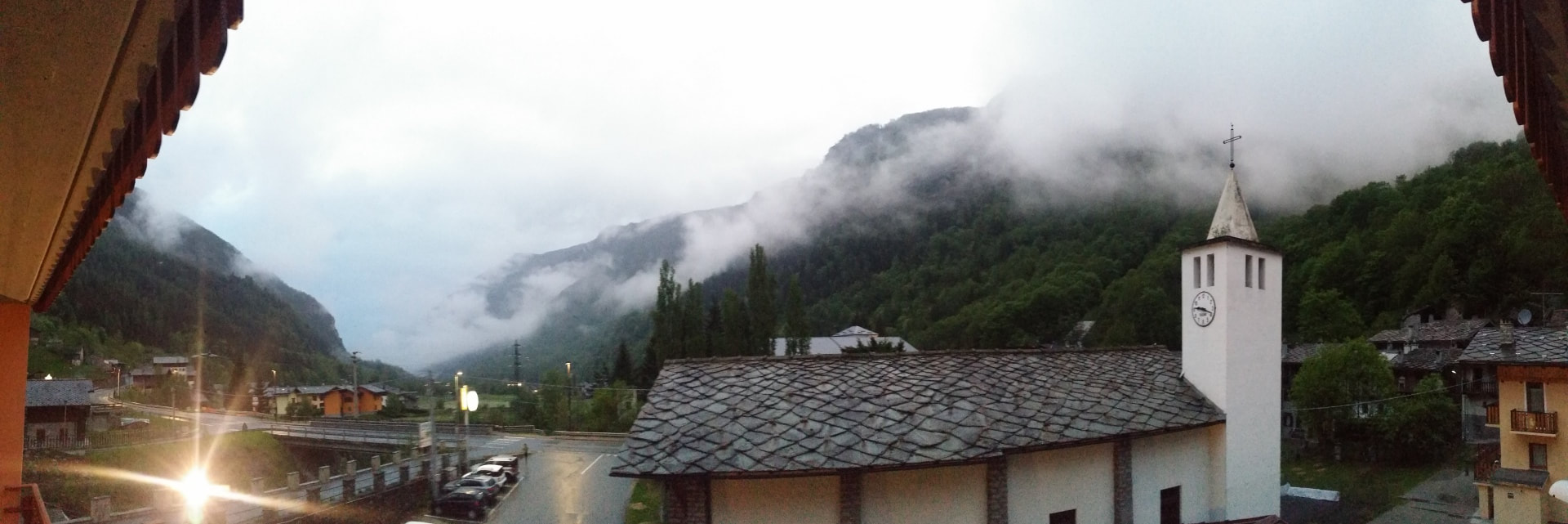
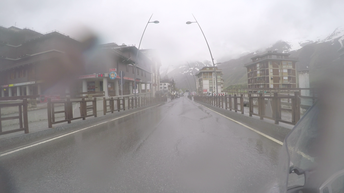
And lucky timing too; I walk inside the hotel and during check in a thick cloud rolls in an immediately drenches everything. I learned something amazing too - hotels right next to churches are not...quiet. The bell went off every hour as well as a quick one every half hour. Thankfully this stopped at midnight as the ...toller...bellboy...ringbearer...went to bed.
Picture
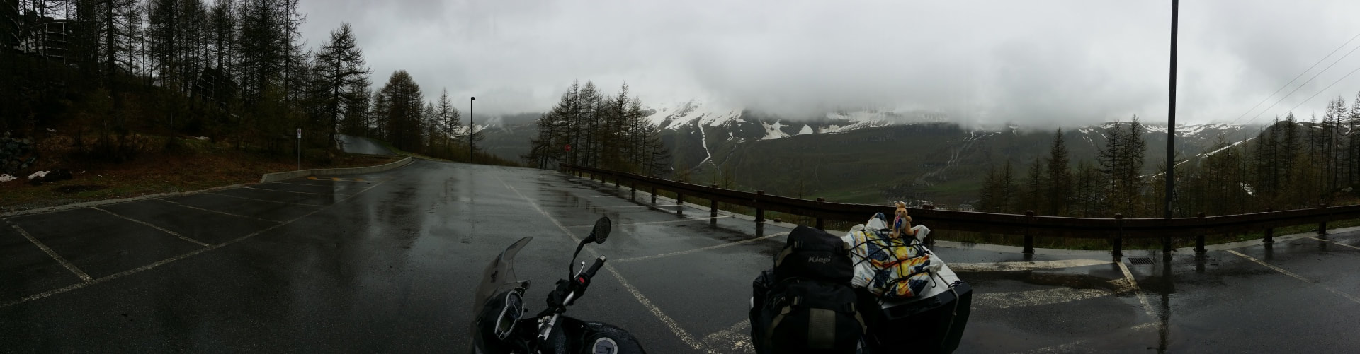
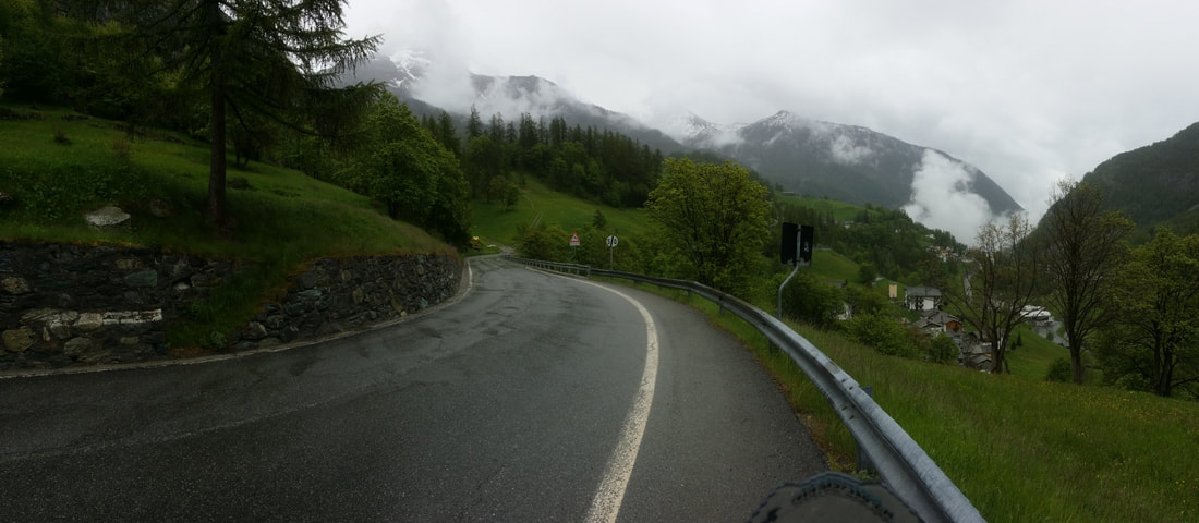
Next morning the cloud had not cleared but thankfully the rain was almost done so I decided to race up the mountain for some photos.
Picture
Picture
Picture
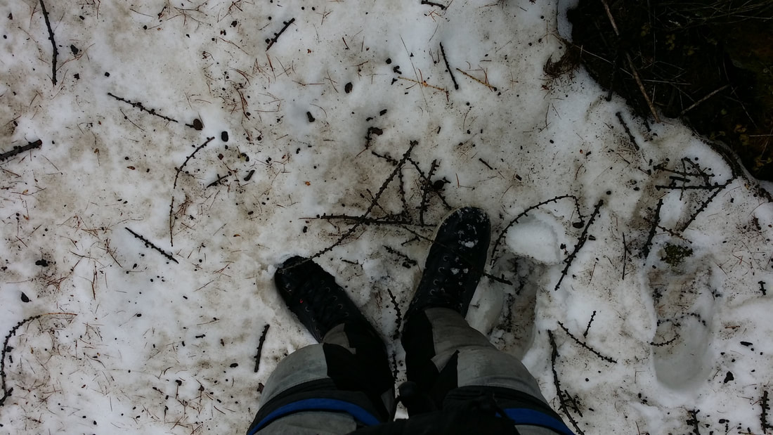
At which point I finally hit snow; and took the obligatory photo! ​
Picture
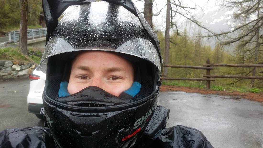
In celebration the heavens opened and I was back into my wet gear, but very happy...because...snow.
Picture
Picture
Picture
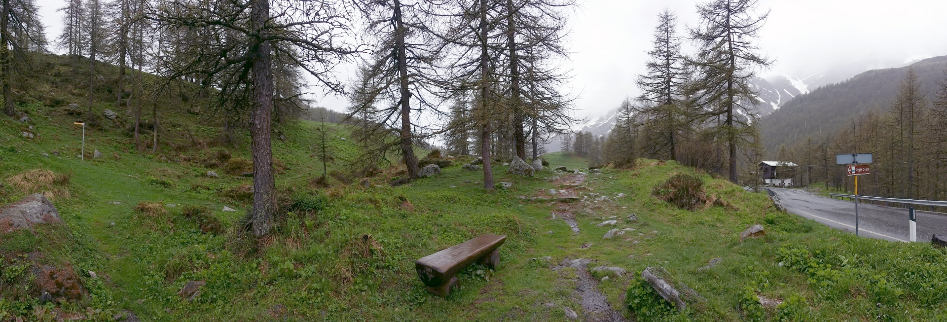
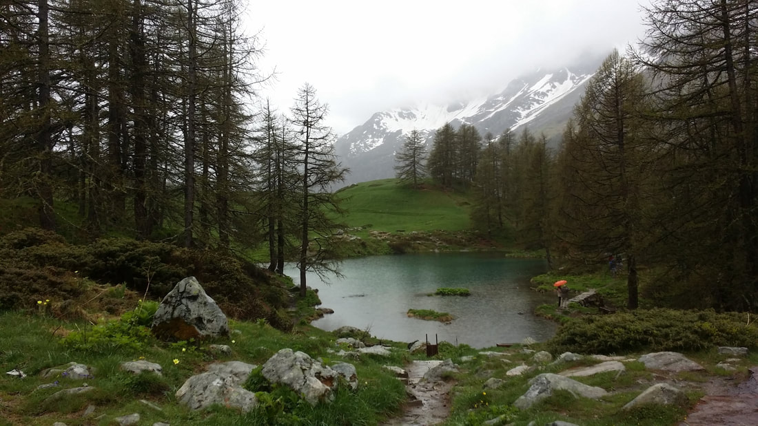
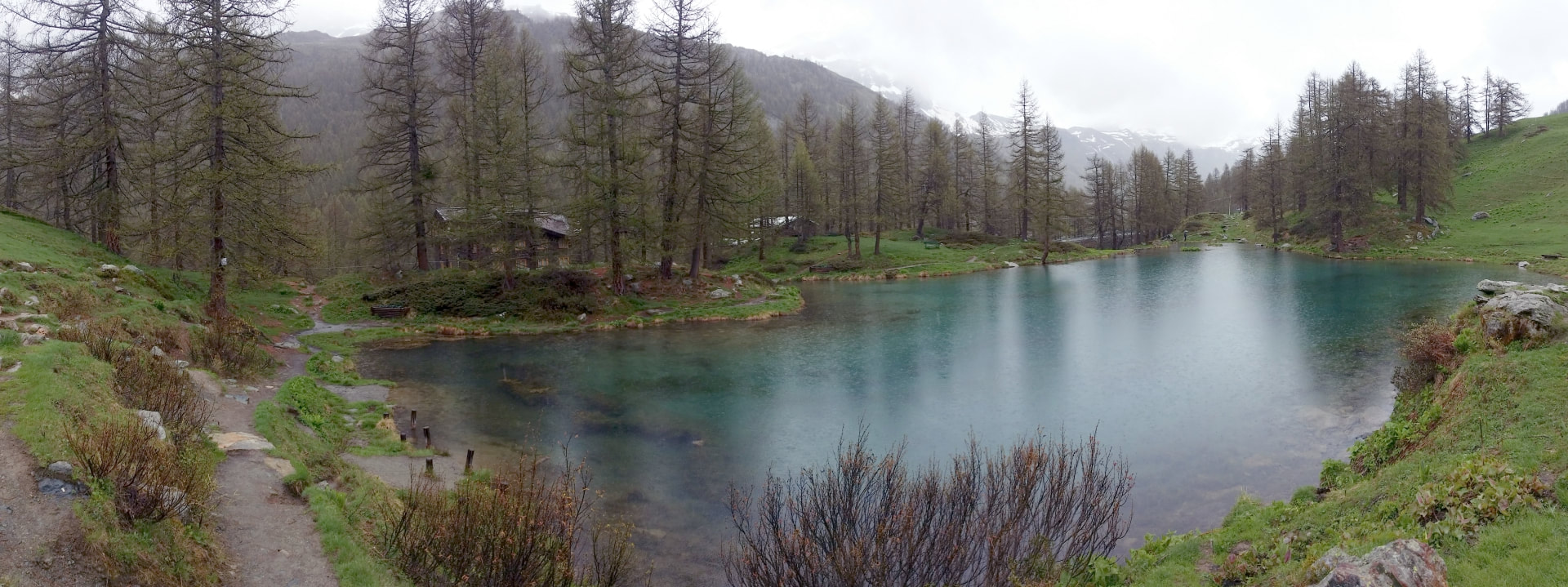
Slightly lower down the road I'd noticed a set of tourist's cars parked on the side of the road; no indication why besides a small sign 'Lago Blu' but worth a look right?


Picture
Definitely!
Picture
Picture
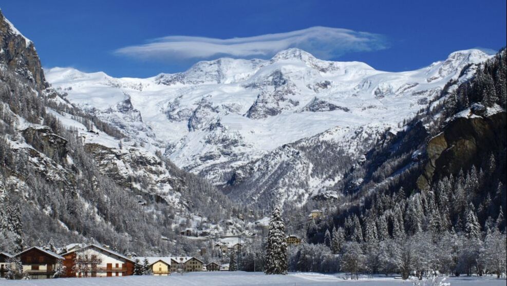
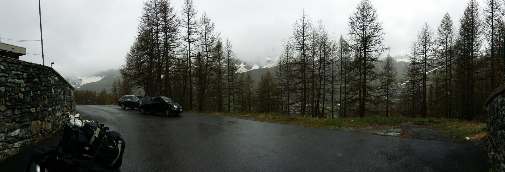
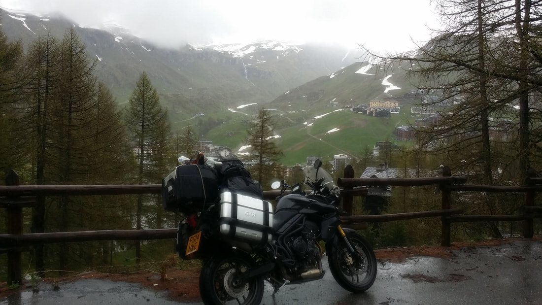
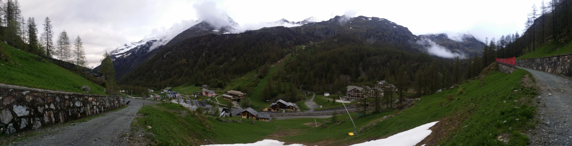
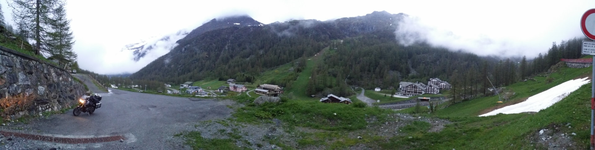
But with the clouds still hanging overhead it was time to blast back down the mountain and over to my next stop; Gressoney. Amazing suggestion to come here! I powered up the mountain to the base of the ski resorts; the towns are all a bit quiet in the absence of tourists.
Picture
Picture
Picture
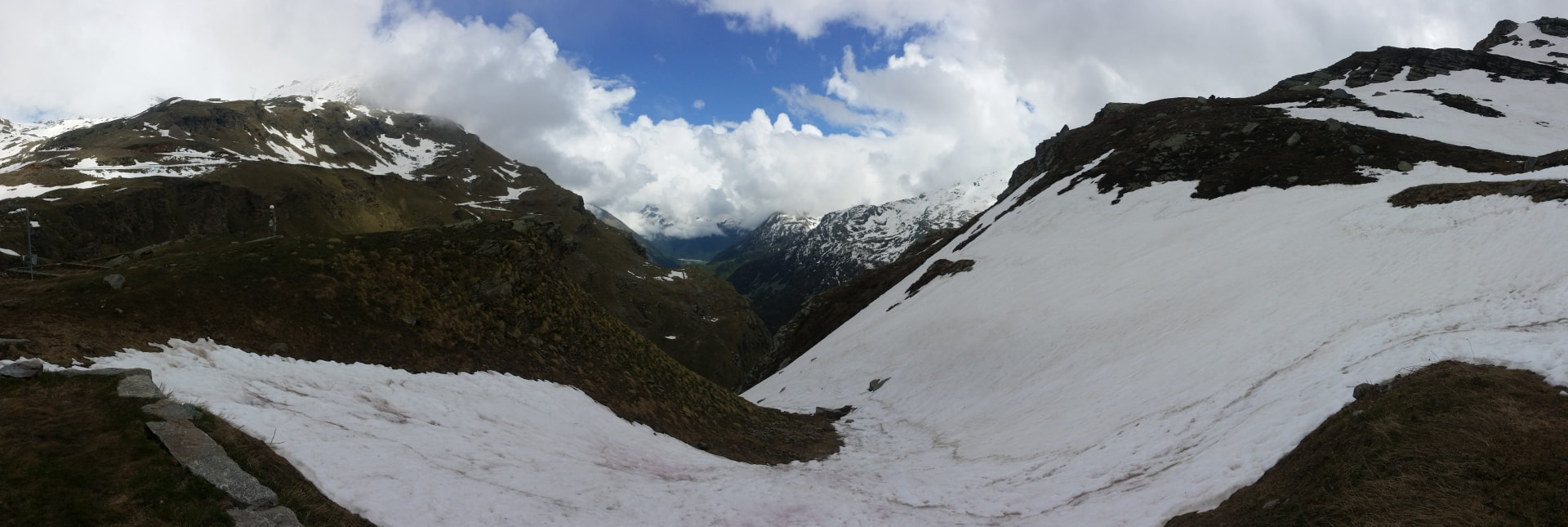
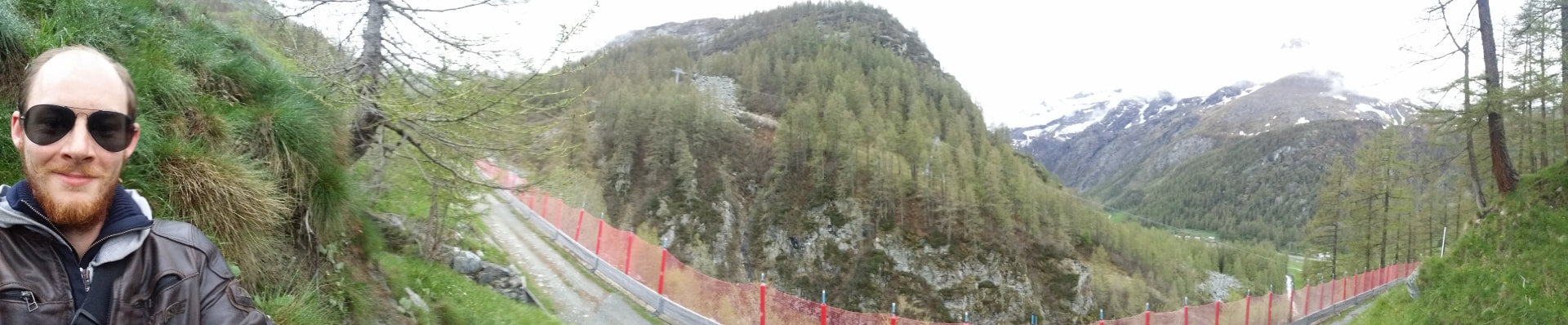
Arriving almost at the top of the mountain to find a gate I decided to run up the hill on foot; the views (and the workout) did not disappoint. ​
Picture
Picture
Picture
It was exceptionally cold riding up here to I'd put EVERYTHING on however as soon as I started walking (running...climbing) I regretted the two jumpers and jacket. The waterproof riding pants came in handy however; the ground was soaked but I sat for an hour or so and watched the clouds roll in.
Picture
Picture
Picture
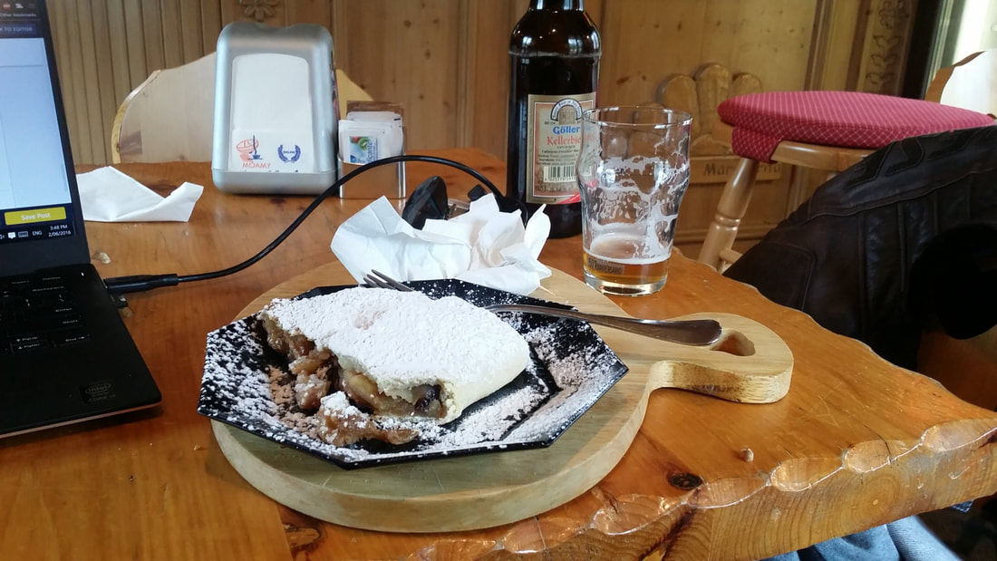
It had gotten late very quickly so back down the mountain I went. In the mid season it seems there's very little in the way of tourism so accommodation is exceptionally cheap. I had a chalet to myself for 50 Euro; a full kitchen, laundry, lounge room etc. The onsite bar even hooked me up with some strudel!
Picture
Picture
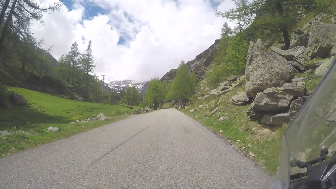
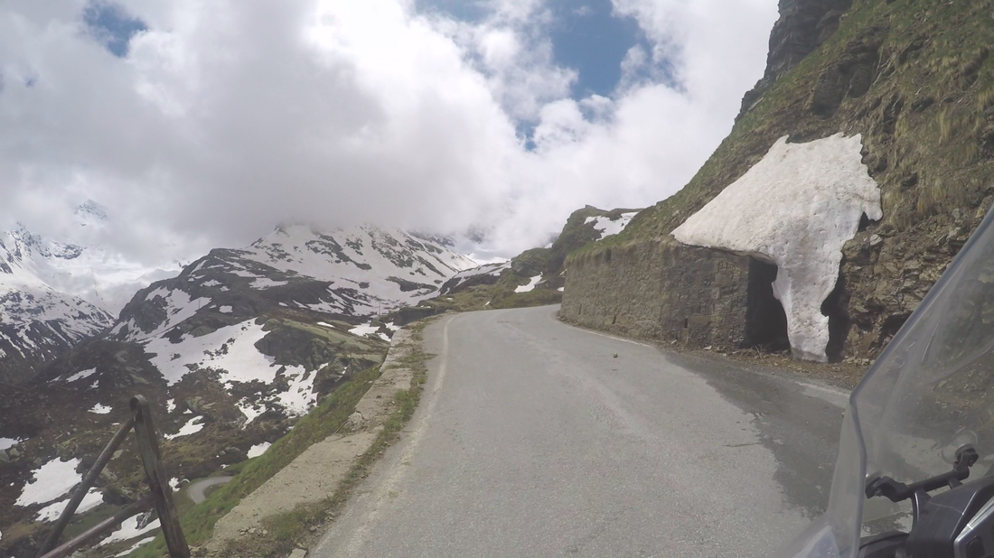
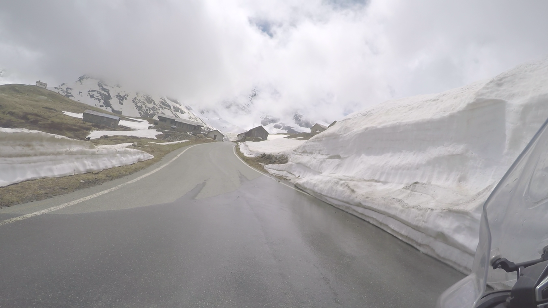
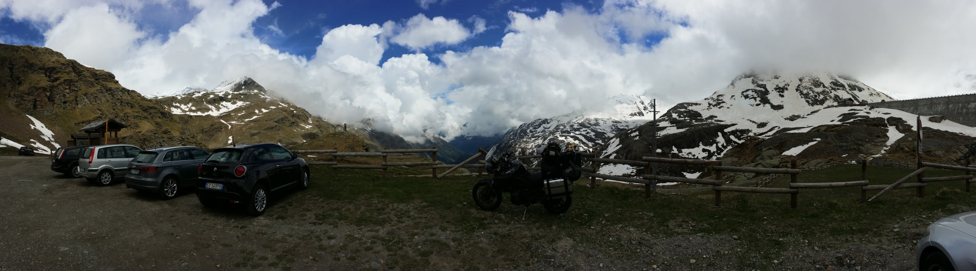
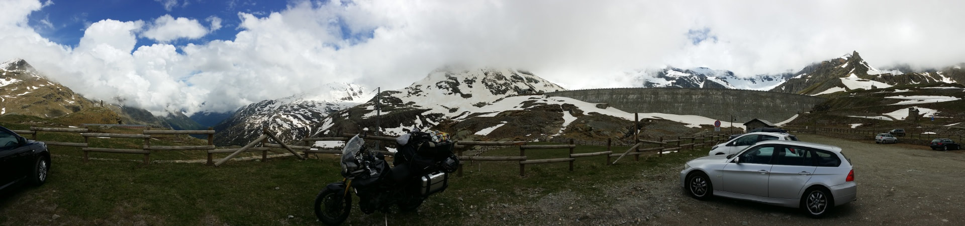
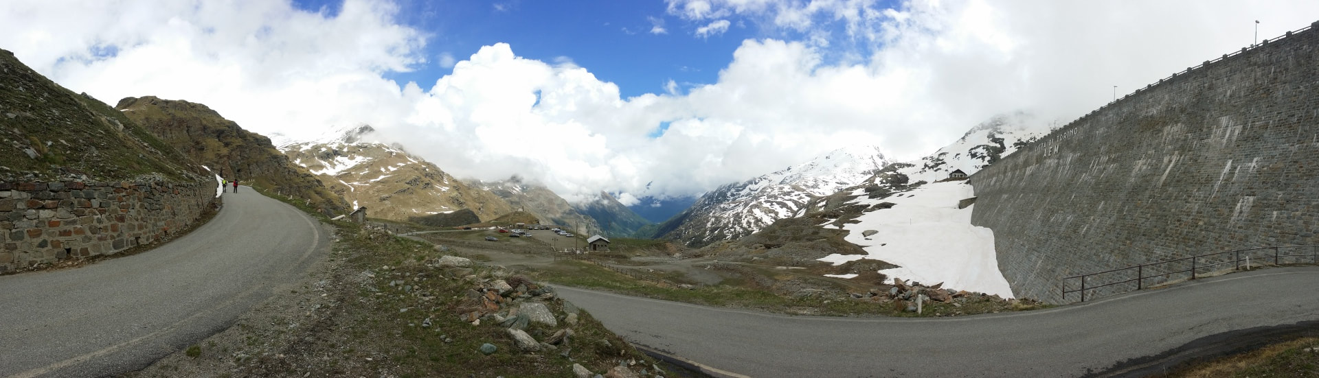
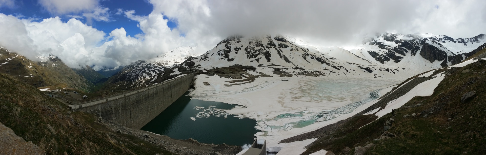
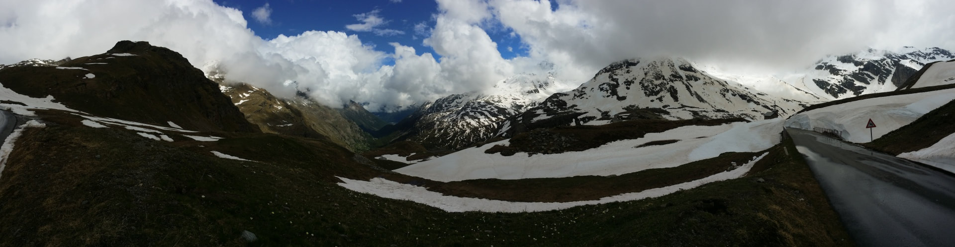
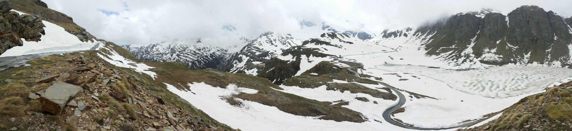
Belly full it was time for bed. But next morning I headed to the nearby Lake Serru in the Gran Paridiso National Park. Having chosen to come here based on seeing one photo online I wasn't quite sure what to expect. I was utterly astounded by how beautiful it was, and the road up the mountain was incredible!
Picture
Picture
Picture
Picture
Picture
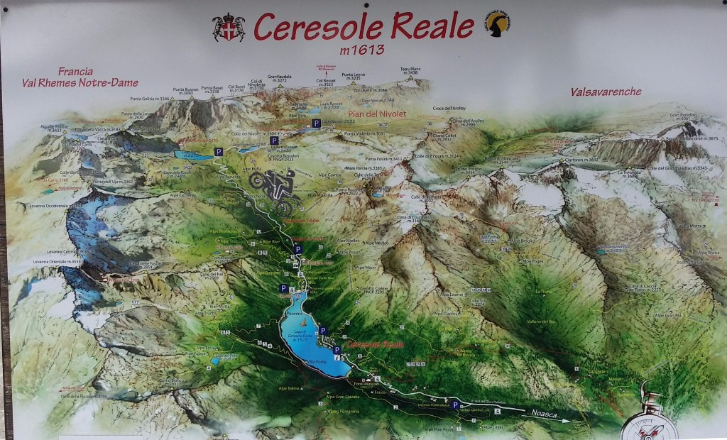
They even had this handy map at the top to show where I'd been! The Lake I'd come for is at the front tyre and looked nothing like it did online. It looked much much better.
Picture
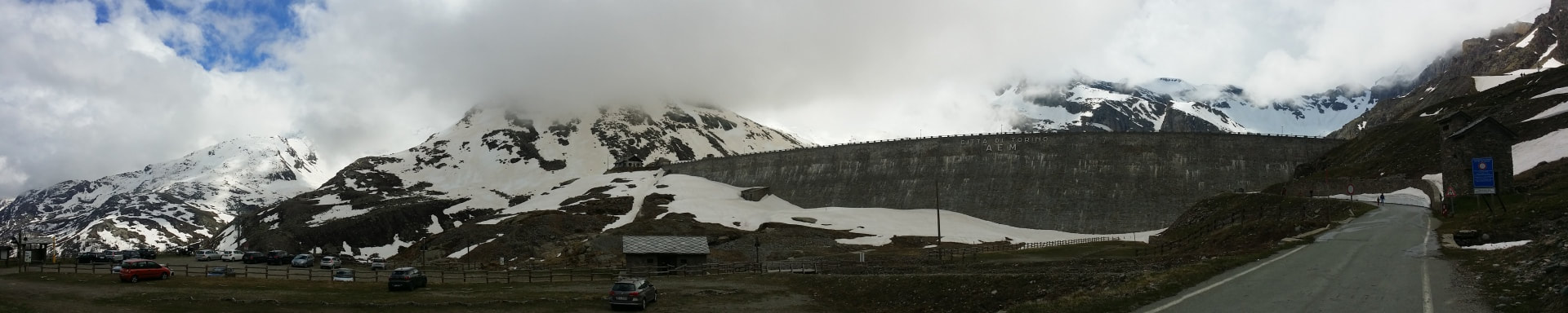
However it did have a certain...evil lair...feel about it! Just me?
Picture
Picture
From the inside however, much less mountain fortress, much more frozen lake.
Picture
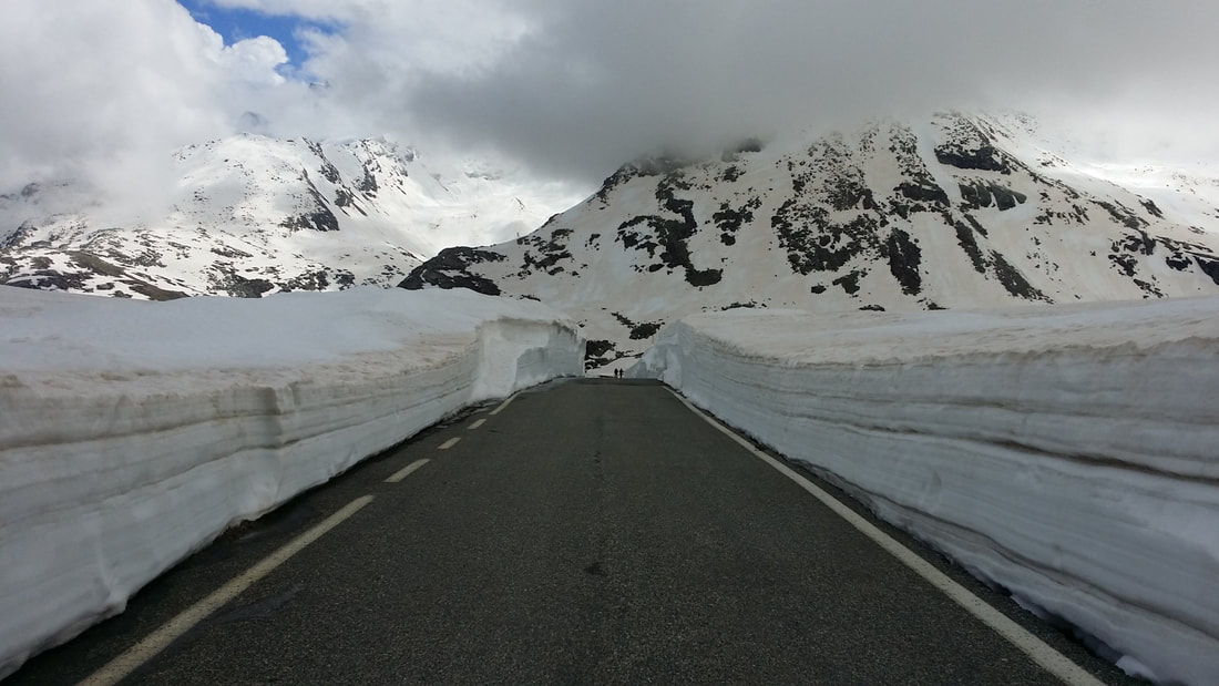
Unfortunately the road up the rest of the mountain was pedestrian only - and after having a rant about closing the Swiss Alps passes I gained a quick understanding of why some Alps roads might not be currently passable.


Picture
Picture
So up I walked! I learned my lesson from the day prior and ditched the hoodie!


Picture
Further up Gran Paridiso mountain (not an overstatement) is a second lake, which was completely frozen over and topped with snow!
Picture
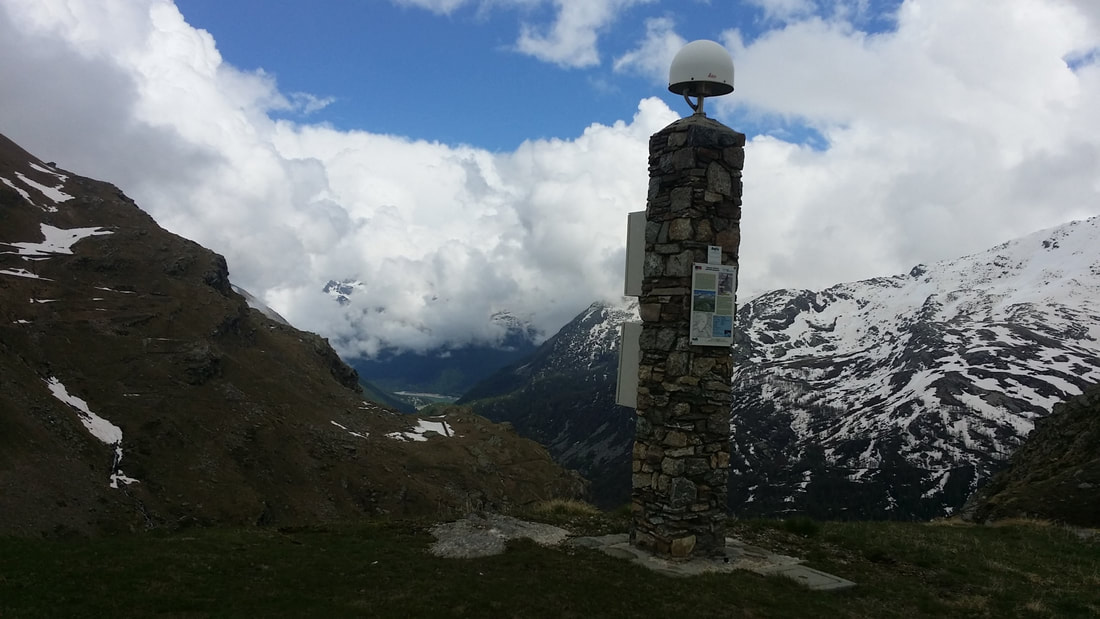
Near the top I came across this ...thing. Sadly not a wifi tower but a high precision GPS marker; part of the Alps GPS QuakeNet - the helpful plaque described this being one of 30 GPS receivers situated throughout the Alps to help study their movement as well as act as an early warning system if one or more areas beings to quickly move relative to the others.
Picture
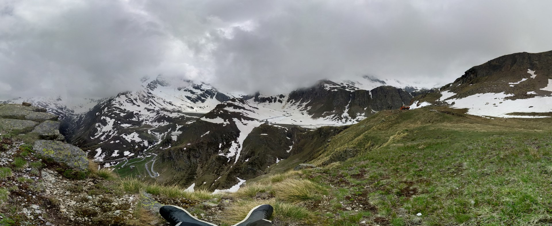
I slowly found myself a nice spot and enjoyed the view! The photo doesn't do justice to the slow of the hill, but does show the road I rode in on next to my foot!
Picture
Slowly making the trek back down (I was nowhere near my accommodation for the night and clouds were rolling in again) I decided to make the most of the snow and go for a run in it! My shoes as it turned out are very waterproof from the bottom, but the seal between the pants and the boot are not, and I got very wet feet every time I fell into the snow. It was totally worth it... (continued over)
0 Comments


Leave a Reply.

    Archives

    July 2021
    June 2021
    July 2020
    June 2020
    July 2016
    June 2016
    May 2016
    April 2016

Site powered by Weebly. Managed by SiteGround
  • Blog